Apple Inc. agreed to buy online transit-navigation service HopStop.com Inc., people with knowledge of the deal said, seeking to improve mapping tools after a rocky debut for its directions software last year. The people asked not to be identified because the deal isn’t public. AllThingsD reported earlier today that Cupertino, California-based Apple is purchasing Locationary Inc., a Toronto-based company focused on business-location maps.Apple has confirmed the deal to AllThingsD using its standard boilerplate text:
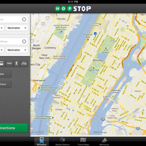
Apple buys smaller technology companies from time to time, and we generally do not discuss our purpose or plans.The iPhone maker in years past acquired mapping startups Placebase, C3, Poly9 to help make the awesome iOS 6 Maps a reality. Since the release of iOS 6, multiple outlets have named HopStop one of the top transit apps to use in place of Apple Maps. Business Insider, for example, wrote last August that HopStop users “can take advantage of schedules for hundreds of regional rails, subways, buses, ferries and more” Here’s HopStop CEO Joe Meyer revealing back in 2011 that nearly three out of each four HopStop users fired up the app at least 25 times per month, almost amounting to an average of one run per day. HopStop is the seventh most popular free navigation app in the App Store. Check out HopStop for iPad.
Recent Blog
Ultimate Guide: How to turn Off Restricted Mode on iPhone?

Automate Apple GSX check result obtaining?

iRemove Unlock iPhone 5S, 5C, 5, SE, 4S/4 Software

MacOS High Sierra Features: Set Up Websites in Safari on Mac

How to Enable iOS 11 Mail Reply Notification on iPhone 7

How to Bypass Apple Watch Passcode Problem
LetsUnlock Services List
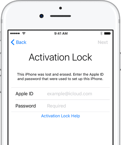
iPhone & iPad Activation Lock Bypass
Use LetsUnlock iCloud Tool to bypass Activation Lock Screen on iPhone and iPad running on iOS version up to 14.6.
Read More
Unlock Passcode Disabled iPhone or iPad
LetsUnlock iCloud Tool is ready to remove Find My and unlock your passcode disable device running on iOS 13.x.x in one click!
Read More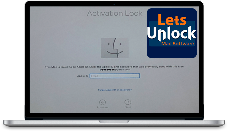
MacOS iCloud Activation Lock Bypass
The LetsUnlock Mac iCloud Activation Lock Bypass Tool will help you to remove Activation Lock on an iCloud locked Mac which is stuck on Activation Lock Screen with no need to enter the correct Apple ID and password.
Read More
Mac EFI Firmware Passcode Bypass
The LetsUnlock EFI Bypass Tool is a one button solution, which you click to start the EFI Unlock process. Bypass EFI with out password! Everything else does the software.
Read More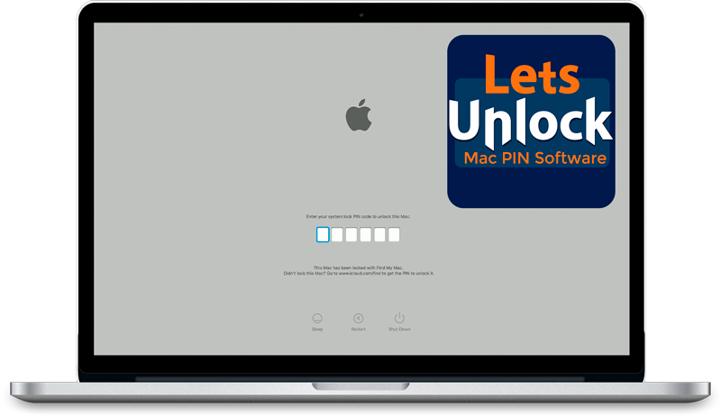
MacOS iCloud System PIN Bypass
The LetsUnlock MacOS iCloud System PIN Bypass Tool was designed to bypass iCloud PIN lock on macOS without passcode!
Read More