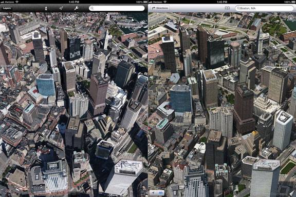
 So many online editions decided to find out which one is better in 3D mapping technology - one that offers the manufacturer of the iPhone and iPad or a decision from the developer of the operating system Android. A comparison between Apple and Google was based on images of the same geographical features made in the applications Maps and Google Earth 7 on the iPad running iOS 6 beta 4 firmware.
According to official figures, three-dimensional coating by Google covers 12 cities in the U.S. (Los Angeles, Boston, San Francisco, etc.) and one city in Europe - (Rome, Italy). 3D-surface of urban landscapes, Apple has more than 26 localities in the United States (Chicago, Atlanta, Boston, Dallas, Miami and others), 4 in Europe (Birmingham and Manchester in the UK, Copenhagen in Denmark and Lyon in France), 2 in Canada (Toronto and Montreal) and two in Australia (Sydney and Melbourne).
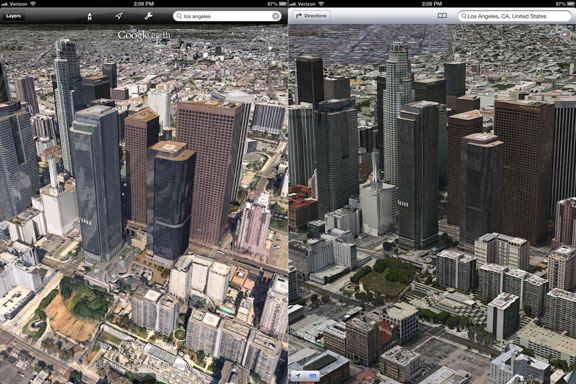
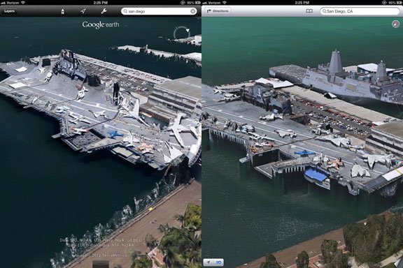
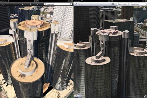
Comparison of Apple and Google 3D maps was carried out in four cities of the general, images that have both from Apple, and in Google: Boston, Los Angeles, San Diego and San Francisco. We can describe every couple of screenshots, but in general I have reached the following conclusion: Apple 3D maps will not only have greater coverage than Google offers, but also significantly benefit the quality of 3D-visualization. This can be seen with the naked eye in almost all submitted pictures.
So let's see the Apple 3D maps vs Google Earth 7 comparison on iPad running iOS 6 beta 4: the left side of screenshots - shot from the Google Earth 3D, on the right - with Apple 3D maps:
 Feel free to leave your comments on what do you think about this comparison.
 Recent Blog
Ultimate Guide: How to turn Off Restricted Mode on iPhone?

Automate Apple GSX check result obtaining?

iRemove Unlock iPhone 5S, 5C, 5, SE, 4S/4 Software
MacOS High Sierra Features: Set Up Websites in Safari on Mac
How to Enable iOS 11 Mail Reply Notification on iPhone 7
How to Bypass Apple Watch Passcode Problem
LetsUnlock Services List
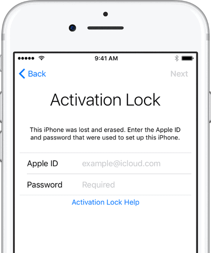
iPhone & iPad Activation Lock Bypass
Use LetsUnlock iCloud Tool to bypass Activation Lock Screen on iPhone and iPad running on iOS version up to 14.6.
Read More
Unlock Passcode Disabled iPhone or iPad
LetsUnlock iCloud Tool is ready to remove Find My and unlock your passcode disable device running on iOS 13.x.x in one click!
Read More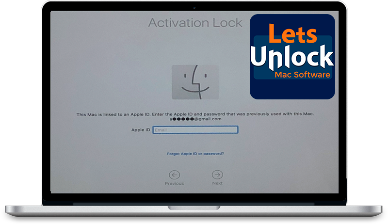
MacOS iCloud Activation Lock Bypass
The LetsUnlock Mac iCloud Activation Lock Bypass Tool will help you to remove Activation Lock on an iCloud locked Mac which is stuck on Activation Lock Screen with no need to enter the correct Apple ID and password.
Read More
Mac EFI Firmware Passcode Bypass
The LetsUnlock EFI Bypass Tool is a one button solution, which you click to start the EFI Unlock process. Bypass EFI with out password! Everything else does the software.
Read More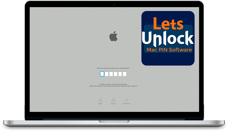
MacOS iCloud System PIN Bypass
The LetsUnlock MacOS iCloud System PIN Bypass Tool was designed to bypass iCloud PIN lock on macOS without passcode!
Read More